SOFTWARE PILOT
Six steps, from your data to the scorecard.
-
01
You
Send your data
Everything except your known deposits. We add public, government and satellite data.
-
02
You
Withhold known deposits
Known deposits stay with you so that we can find them blind.
-
03
NOUS
Maps the ground
Scores the whole area and pins the hotspots.
-
04
Pluton
Delivers the outputs
Hotspot briefs, a technical overview and the map layers.
-
05
You
Review, then share
Check our results, then send the known deposit data for the performance scorecard.
-
06
Pluton
Delivers performance scorecard
How many of your deposits fell in our top-ranked ground.
PLUTON DELIVERS
What you get at step 04, and the scorecard at step 06.
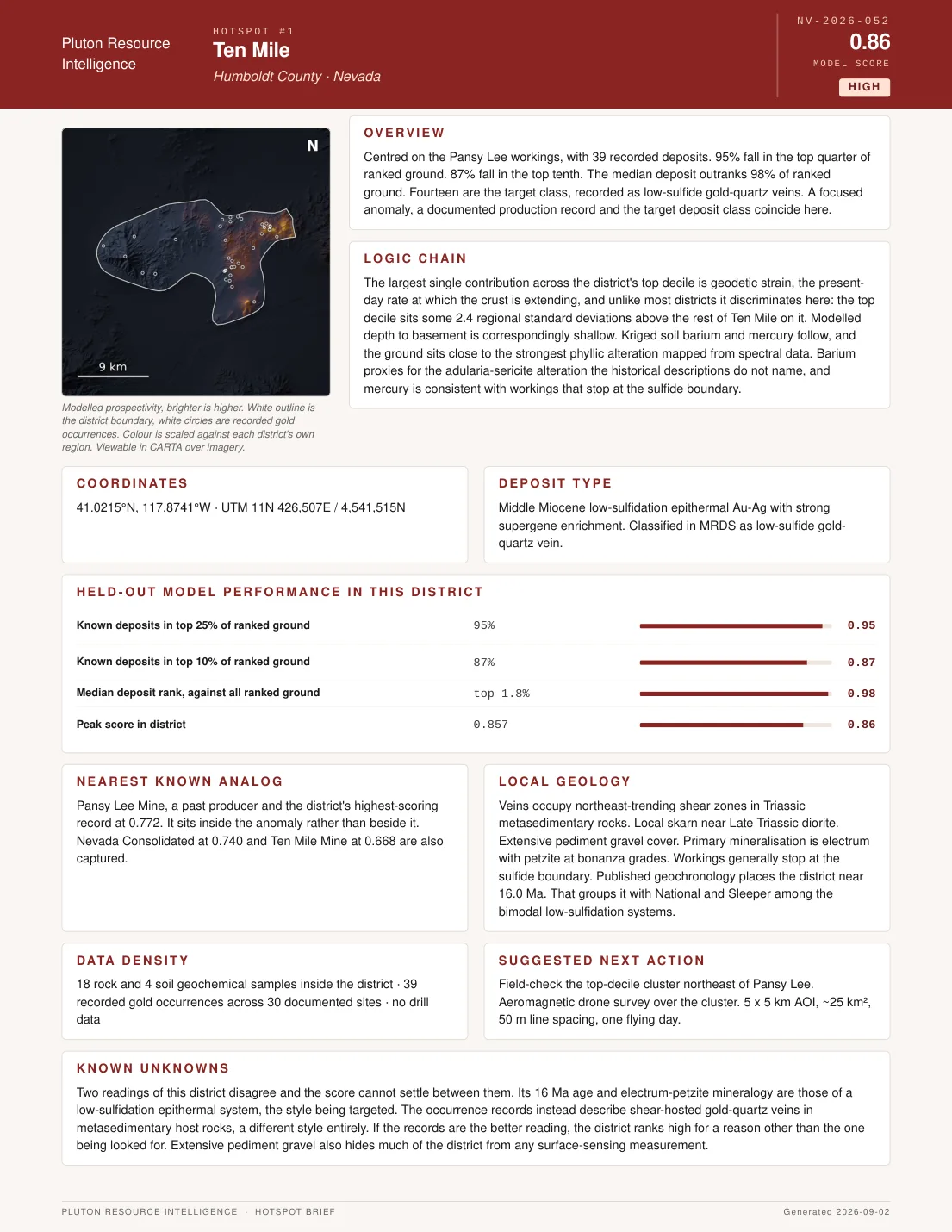
Ten Mile Hotspot from Nevada Case Study
Step 04
Hotspot briefs
One brief per hotspot: location, the logic chain behind the score, deposit type, nearest known analog, local geology and the next measurement to take. See an example brief.
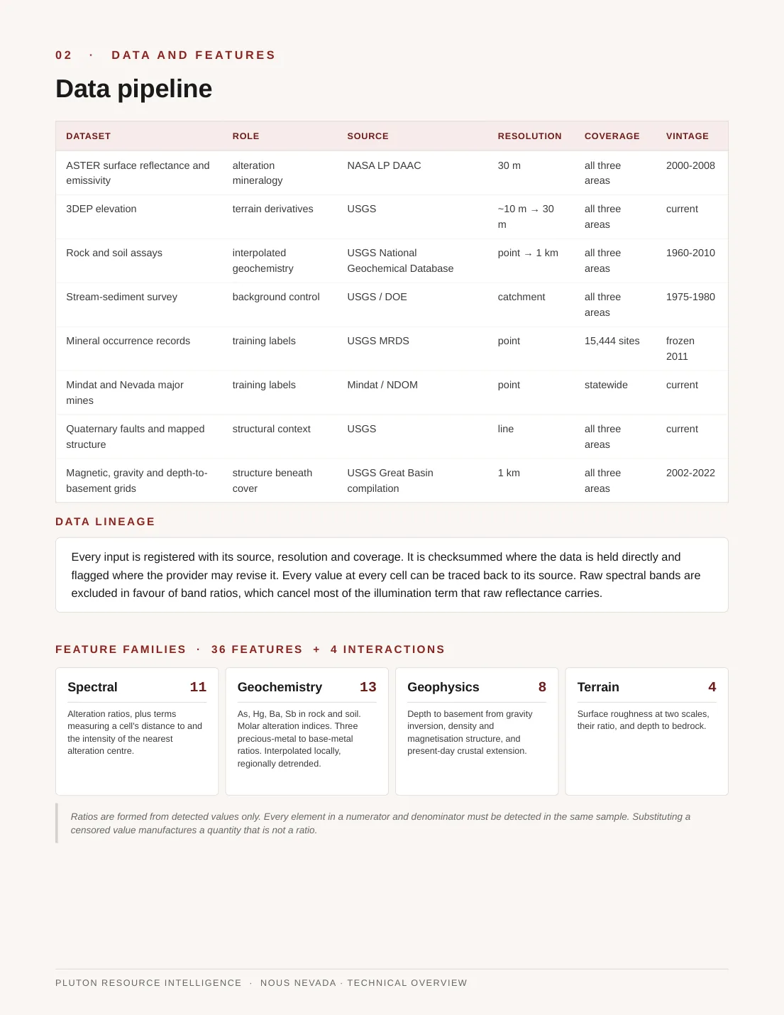
Technical Overview from Nevada Case Study
Step 04
Technical overview
How the model was built and tested on your ground: every dataset, its source and resolution, the features NOUS used and how it was validated.
Step 04
Map layers
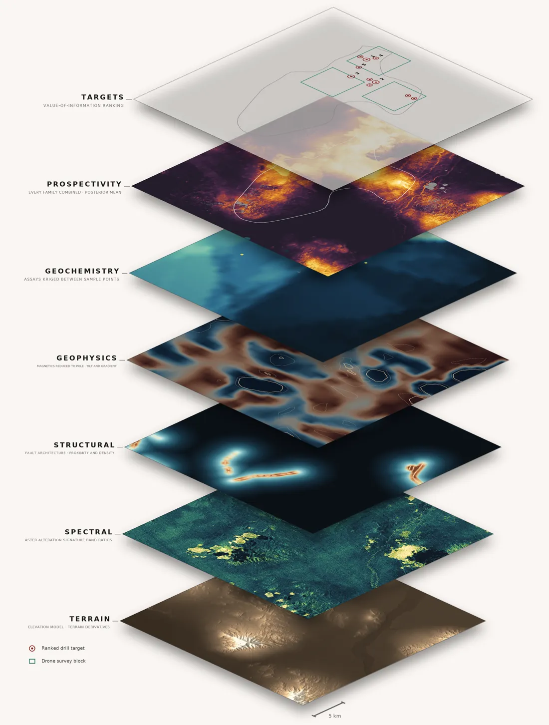
Every evidence layer and the combined prospectivity map, ready to load into the GIS tools you already use.
Performance scorecard
95%of known deposits inside the top 25% of ranked ground
Known deposits in top 25%95%
Known deposits in top 10%87%
Median deposit ranktop 1.8%
Example: Ten Mile, Nevada, held-out district
Step 06
Performance scorecard
Once you share your known deposits, we score the map against them: where each deposit ranked and how many fell inside the ground NOUS ranked highest.
You are here
Tier 1 · Software only
Data assimilation and recommended next steps
NOUS ingests your data with public, government and satellite layers and ranks your ground. You get a ranked target set with confidence bands and the next data to collect for each target.
4–6 weeks
Tier 2 · Full closed loop
Software plus field platforms
Everything in Tier 1, plus Pluton aerial and ground platforms collect the next measurements. Each one updates the model until every priority target meets the drill threshold or is ruled out.
3–6 months
Tier 3 · Ongoing operations
Across drill cycles
The loop keeps running through each drill campaign. Every result is added to a calibration record of predictions against outcomes, which builds over time.
Ongoing